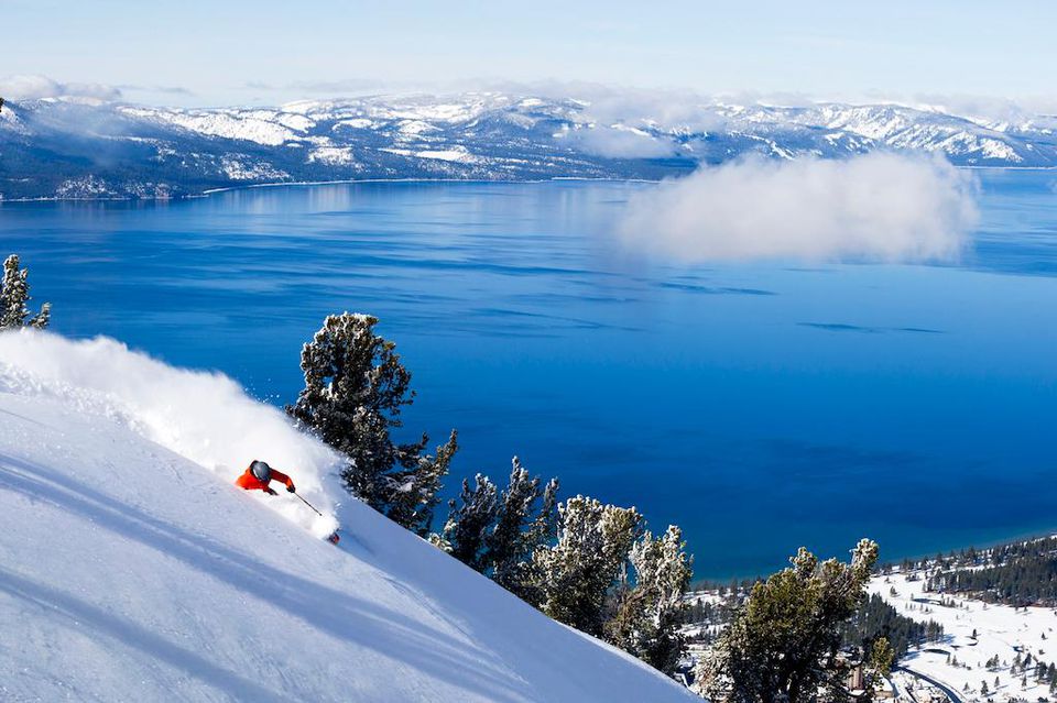
TRUCKEE, Calif. – Following months of limited storm activity, the Tahoe region could see a more sustained period of precipitation as a new weather pattern moves in later this week.
“After a frustrating winter with only two stormy weather pattern periods from the end of November through March, we look to finally have a pattern coming that we could have used a lot more this season,” wrote forecaster Bryan Allegretto on OpenSnow.
Allegretto said a broad area of lower pressure may settle over the West Coast by April 9 and linger through at least April 20. Unlike midwinter systems driven by a strong jet stream and colder air masses, this pattern will feature weaker, slow-moving low-pressure systems.
“These are weak cut-off or closed lows that are moving through slowly and will get a boost in showers from daytime heating,” Allegretto wrote. “Overall, above-average precipitation for this time of year is forecast.”
Temperatures are expected to drop alongside the storms, with highs reaching the 40s at lower elevations and 30s on the upper mountain. Conditions will fluctuate, turning colder during periods of precipitation and warming slightly during breaks in cloud cover.
The National Weather Service is also reporting a chance of isolated to scattered thunderstorms Thursday and Friday, though confidence remains low regarding the extent of impacts.
Looking ahead, forecasters anticipate a brief lull early next week before additional storms move through Northern California as the unsettled pattern persists. Notably, Allegretto reporter there are no signs of high pressure building in to block incoming systems, meaning the active weather could continue.
“It will be hard to forecast total precipitation amounts with each system as they are slow-moving and not being steered by a fast-moving jet stream,” Allegretto wrote.
Still, current model runs suggest meaningful moisture totals. OpenSnow projections indicate up to 2 to 3 inches of precipitation near the Sierra crest over a 12-day period.
“Snow levels will be a pain to forecast as well,” Allegretto wrote.
His initial projections place snow levels above 8,000 feet Thursday into Friday, lowering to around 7,000 feet by Saturday and potentially dropping to base elevations by Sunday. Future systems could follow a similar pattern, with snow levels rising and falling depending on storm dynamics. As a result, precipitation at lower elevations will likely fall as rain at times.
At around 7,000 feet, current forecasts suggest roughly 10 inches of snowfall by April 20, though rain may mix in. At 8,000 feet, totals could reach up to 20 inches, while areas near 8,800 feet — such as Granite Chief — could see close to 30 inches.
He cautioned that these projections rely on averages and remain subject to change, particularly for storms beyond the five-day forecast window.
“All that we know for now is that we look to be heading into a colder and unsettled pattern for a while,” Allegretto wrote.
Sunny, mild conditions are expected to persist through Wednesday, with daytime highs climbing to around 60 degrees at lake level, the 50s across lower and mid-mountain elevations, and 40s at higher elevations.