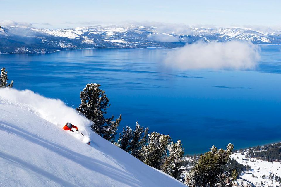
Summer has said its goodbyes; fall is in full swing and winter is just around the corner. Storms are beginning to roll into the Sierra, teasing winter lovers with a taste of what’s to come in the months ahead.
A mild storm is expected to bring rain and a chance of high-elevation snow to the Tahoe region Wednesday and Thursday, with drier weather returning for the weekend, according to Bryan Allegrato, an OpenSnow forecaster.
Open Snow forecast models show a few tenths of an inch to as much as 1 inch of precipitation possible by Thursday night, Allegrato said.
Snow levels are expected to remain high, generally above 8,000 to 9,000 feet for most of the storm, limiting snowfall to the highest elevations. However, snow levels could drop toward the end of the system, potentially bringing a light coating of snow above 8,000 feet. Temperatures near the base are expected to reach the 50s before dropping to around or below 50 degrees by Thursday.
Although most Tahoe and Eastern Sierra communities aren’t expected to see snow from this storm, the National Weather Service recommends drivers prepare their vehicles for winter travel by checking tire tread, windshield wipers and battery condition, keeping chains on hand and inspecting their emergency kit.
High pressure is forecast to return over the weekend, bringing drier conditions and a slight warming trend that could extend into early next week.
Looking Ahead
Looking farther ahead, Open Snow’s forecast models and the National Weather Service suggest a potential shift toward a more active weather pattern around the end of October and into early November. According to Allegrato, a prolonged trough along the West Coast could bring several storms to the region, with long-range forecasts indicating the potential for above-average precipitation.
Although a strong El Niño season can favor above-average snowfall, it does not guarantee it. Allegro noted that three of the past seven strong El Niño seasons saw below-average snowfall.