Youth ski teams: Where Olympic dreams start and lifelong friends are made
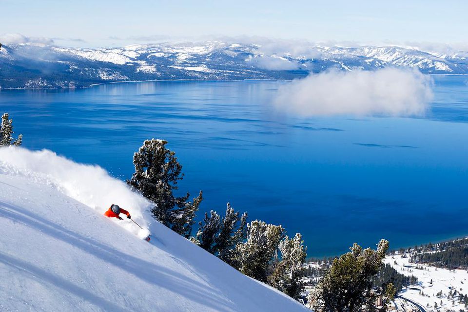
LAKE TAHOE, Calif./Nev. – Every four years the best of the best come from all corners of the world to compete, drawing excitement from many and daring others to dream.
For athletes, the Olympics is the peak of their career, where dreams are finally realized, and the culmination of years of hard work and sacrifice.
And while viewers often see athletes in these mountain top moments, what often isn’t seen is the diligence, grit, and the valleys where it all began.
For many Olympian skiers, like Truckee’s Abby Winterberger and Carnelian Bay’s AJ Hurt, it often starts on a bunny hill, surrounded by friends and teammates on youth ski teams.
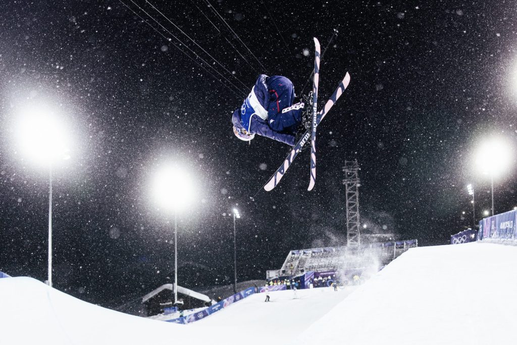
15-year-old Winterberger cut her teeth on the Olympic Valley Freestyle Freeride Team and competed in the freeski halfpipe competition on Feb. 19 as the U.S. team’s youngest member.
Hurt joined Team Palisades Tahoe at the age of four and now at 25 years old, wrapped up her second Olympics, competing in slalom and giant slalom.
The Northstar Ski and Snowboard Teams, Diamond Peak Ski Team, and the Heavenly Team are among other youth clubs and teams located all around the Tahoe Basin. Often out of ski resorts, these programs offer opportunities for a variety of levels and ages.

With youth competitions throughout the season, complete with podiums and medals, young athletes learn to embrace the grand stage and pressures of competing.
So far this season, there have been numerous multi-podium winners, team podium sweeps, and top five and ten athletes in the local youth division.
According to Donna Collignon, a coach at Alpine Meadows with over 30 seasons under her belt, these teams are a gateway to higher achievements in ski racing or the ski industry.
She’s seen many of her athletes take these avenues with some competing on the U.S. Ski Team after persistence and dedication.
But the role these teams play goes beyond skiing.
Collignon expressed that these teams are also where athletes develop sportsmanship, and build long lasting friendships. “Skiing at any level is a great sport,” but she says, “being on a team makes it even more special.”
Some of her team members have kept in touch with each other after 30 years.
In a demonstration of these snow forged bonds, Tahoe athletes Hurt and best friend, Keely Cashman, competed together as best friends in the Olympic Alpine Ski Team Combined competition.
Their talent on skis was only surpassed by the excitement, support, care and dedication for each other, which started at young age with both skiing on Team Palisades Tahoe.
Youth ski mom, Lexy Plambeck, has witnessed the local youth ski competitions cultivate community with coaches and athletes from different teams coming together to embrace, cheer, and encourage one another through challenging weather and race conditions.
“This comes from positivity, unity and teaching these kids to embrace and love one another,” she said.
Although the Winter Olympics came to a close on Feb. 22 for another four years, sealing memories and awards, local youth competitions will continue where Tahoe’s future winter Olympians and lifelong friendships are just getting started.