Record heat in Nevada could mean elevated drought and fire risk
RENO, Nev. — Following the warmest recorded winter in Nevada, a heat wave broke numerous monthly temperature records for the state last week. The record temperatures were paired with an already low snowpack.
“To have these two unprecedented, exceptional events happening at once is a combination that is particularly concerning,” Nevada State Climatologist Baker Perry said.
The heat wave set a new Nevada statewide March monthly high temperature record of 106 F in Laughlin, south of Las Vegas, shattering the previous record of 100 F by 6 F. Perry said the temperatures across the state were exceptional for several reasons.
“It’s not just that we broke monthly records, but it’s by how much we broke the monthly records, and not just in one place,” Perry said.
Typically, monthly temperature records are broken incrementally, while daily temperature records can have larger margins. During the week of March 16 though, temperatures kept increasing throughout the week across the West. Monthly high temperature records were smashed by up to 8 degrees in some places in Nevada. Perry noted that the persistence of the heat has been remarkable, as Reno has already recorded seven days over 80 F in March, while the previous record was two days over 80 F.
Perry, who is also a professor in the Department of Geography at the University of Nevada, Reno, publishes climate and drought reports for the state regularly. His most recent quarterly climate outlook, published on March 11 with colleagues in the Nevada State Climate Office, warned that record temperatures exceeding 15 F above normal were possible.
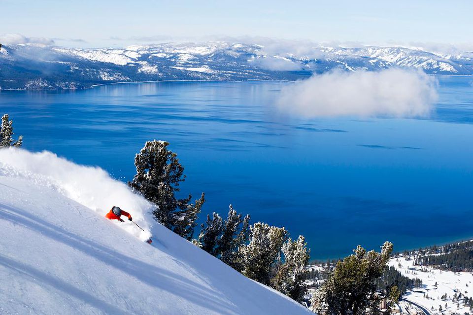
Unprecedented statewide snow drought
Despite near normal winter precipitation and big snowstorms in mid-February, the state is facing an unprecedented snow drought. The lower elevation snowpack was largely obliterated by warm, moist air and wind just days after the winter storm, causing a melt event that resulted in the second highest daily snowmelt recorded in the eastern Sierra in winter, only after the 1997 flood. Instead of snowmelt taking place gradually in April and May, it took place quickly in late February and into March. Abnormally dry and drought conditions have expanded across the state in recent months and last week’s record heat will likely accelerate drought development.
“It depends on what the weather does the next couple months,” Perry said, “but it doesn’t bode well for summer.”
SNOwpackTelemetryNetwork (SNOTEL) sites are installed around the state and provide remote reports of snowpack. The Elko NWS representatives, Trent Davis and Jonathon Bongard, said that 70% of the SNOTEL sites in northern and central Nevada are currently reporting 0 inches of snowpack.
“The record-breaking heat compounds the problem of the low-to-nonexistent snowpack this historically dry season,” representatives from the National Weather Service (NWS) in Elko said.
However, reservoirs in the state, besides Lake Mead, are well-stocked, which will provide some relief should drought conditions expand.
Summer wildfire concerns grow
“This stretch of daily high temperature records across Nevada is unprecedented,” Dan Berc, a Warning Coordination Meteorologist at the NWS in Las Vegas, said. “These hot temperatures coupled with low snowpack raise concerns for an early wildfire season across the area.”
Due to the melting snow and more rain, soil moisture has been high across much of the state, which may prompt vegetative growth.
“Record heat over the previous weeks has put us into early ‘green up’ for the year,” Truckee Meadows Fire Protection District Division Chief August Isernhagen said. “This, coupled with many other human impacts on the landscape, has created potential for unprecedented conditions this ‘fire season.’ It is worth reminding the public that the majority of our starts, and nearly all of our catastrophic fires are human caused. Regardless of the state of the landscape, a lot of how our fire season plays out this year is yet to be determined and will depend on our own actions as humans in the outdoors this summer.”
Dawn Johnson, a Warning Coordination Meteorologist at the NWS in Reno, agreed with Chief Isernhagen, explaining that the early green up results in a longer time frame for fine fuels to cure and become ready to burn.
“For the mountains, losing snowpack this early also means a longer time for the heavy timber to become drought stressed,” in absence of other weather systems, Johnson said, “so they can also become a fire concern earlier in the season.”
A glimmer of hope is on the horizon, however, with a cooler and stormier pattern expected to develop at the beginning of April. Johnson said that may be too little, too late.