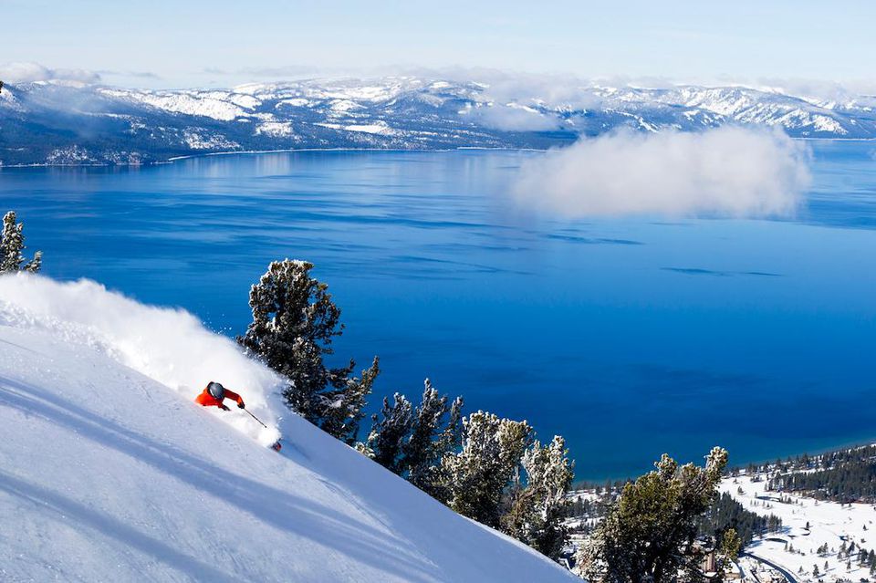
After a long dry spell, Tahoe’s holiday forecast is finally showing signs of life for those eager to get back on the mountain. Heavy precipitation expected this weekend could bring high elevation snow, with another storm potentially arriving on Christmas Eve — putting a white Christmas back in play.
According to OpenSnow forecaster Bryan Allegretto, a round of heavy precipitation is forecast to arrive Friday afternoon or evening, bringing rain and high-elevation snow to the Tahoe region. The system is expected to intensify Friday night and continue through the weekend, with temperatures dipping into the 30s at upper elevations and the 40s near base areas from Saturday night through Sunday night.
“The latest model runs show snow levels bouncing between 8,000 and 9,000 feet for most of this storm through Sunday, with the lowest snow levels Saturday morning and the highest on Sunday before falling again Sunday night,” Allegretto said on OpenSnow. “That means back-and-forth rain and snow is possible in that zone near the top of the mountain.”
More significant changes could arrive Monday, as forecasts indicate colder air moving in and a slight southward shift of the atmospheric river. Snow levels could drop to around 7,000 feet on Monday.
With heavy precipitation expected to continue, snowfall could accumulate quickly above the snow line. However, fluctuating snow levels could lead to periods of melting when rain mixes in.
If snow levels dip close to 8,000 feet Saturday and Sunday night, accumulations of 1 to 3 feet of wet snow are possible above 8,000 feet, not accounting for melting. Should snow elevation drop further Monday, several inches to more than a foot of snow could fall above 7,000 feet, explained Allegretto.
However, if the atmospheric river shifts farther north, snow levels may remain above 9,000 feet, limiting snowfall totals and confining accumulation to the highest elevations.
A White Christmas?
Another storm system is forecast to arrive on Christmas Eve and continue through Christmas Day, with some models indicating lingering precipitation into Dec. 26.
Recent model runs have shown the storm’s trough positioned just far enough inland to support a colder system, though confidence remains uncertain, Allegretto said.
“Let’s hope the trend is toward the storm progressing inland and dropping snow levels to the base quickly on Christmas Eve into Christmas Day,” he said. “If we get the colder air, we could see significant snowfall on the mountain to the base.”