LAKE TAHOE, Calif./Nev. – Regional stakeholders now have a bird’s eye perspective on where wildlife move in the Tahoe Basin and related road barriers after soaring above key locations in the early morning hours on Saturday, June 14.
A chill was in the air and the sun had barely risen when the first group of three boarded Centurion II, a six-seater plane—the ride made smoother thanks to Dramamine. The non-profit, EcoFlight, provided the plane and its pilot, Gary Kraft, manned the mission. EcoFlight utilizes their aircraft to provide aerial perspectives to strike up conversation, awareness and advocacy for land and water initiatives.
This mission covered five important areas in the Tahoe Basin in the span of an eye-opening half-hour flight. It brought into focus a macro-view of roads and developments that fragment wildlife habitat—exasperated by tourism—and create barriers to wildlife movement and survival.
These key areas, which would have taken hours to cover by vehicle, were identified through the Lake Tahoe Basin Connectivity Study, provided by Wildlands Network and Pathways for Wildlife with funding from the California Tahoe Conservancy.
The four-year study aims to identify where habitat linkages exist, what species rely on them, and how partners can enhance wildlife permeability on the landscape through infrastructure improvements such as new wildlife crossing structures, or improvements to existing bridges, culverts and underpasses.
“How can we make sure we’re not forgetting wildlife?” Wildlands Network’s California Program Director, Mari Galloway, said when it comes to development. Galloway and Gillian Roy, Wildlands Network’s California Program Coordinator, were the group’s tour guides, explaining specifics on each critical site throughout the flights.
The plane ride first went north-east from the South Tahoe Airport, flying over Stateline. As the sun beamed off the towering casinos, Spooner Summit came into view on Highway 50, the tour’s first key area.
Studies are just now getting underway on this Nevada portion of the highway, from Carson City to Lake Tahoe, but the section has already been identified within the Nevada Department of Transportation’s top priority areas for animal-road conflicts.
The high-speed road’s significance is also demonstrated by the fact that it is the only high-elevation north to south movement corridor on the eastern side of Lake Tahoe for wildlife. This region comprises the eastern limit of the Sierra Nevada range.
Modeling has also shown the area offers potential habitat suitable for the threatened wolverine, although it is unknown whether the species has utilized the area or would establish there. The Tahoe Rim Trail also passes through the summit road and may give reason for a multi-use crossing structure accomodating both humans and animals. However, the study will need to lend further insights as to the potential for that.
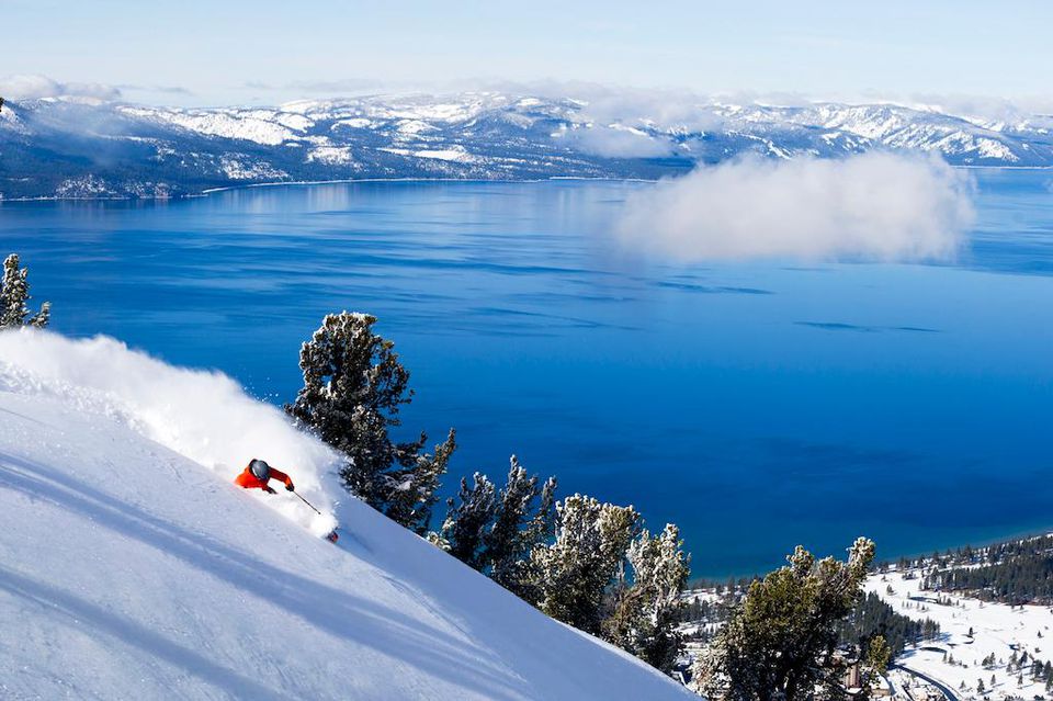
Centurion II then turned southwest, offering views of Emerald Bay. The study has identified the strip of Highway 89 from South Lake Tahoe and leading up to the landmark site as a wildlife-vehicle collision hotspot. The area has bridges and creeks that do not provide adequate banks for wildlife to cross, forcing them to instead directly cross the roadway.
Pilot Kraft then continued south, slanting east towards the expansive Hope Valley and flying over the next key study area, Luther Pass. Studies along this portion of Highway 89 have detected sensitive species, including the federally endangered Sierra Nevada red fox and U.S. Forest Service sensitive species, the American marten, as well as the regular movement of bears, deer, mountain lions and coyotes.
Galloway noted the correlation at Luther Pass between discovering sensitive species as distance increases from development. Improving failed culverts along this stretch could relieve wildlife-vehicle collisions.
A turn above Hope Valley placed the plane on a return path towards the airport, but touchdown didn’t occur before flying over the stretch of Highway 50 from south of Meyers to South Lake Tahoe and Pioneer Trail. These thoroughfares have seen bears, coyotes, porcupines, bobcats and deer crossings with a particularly high frequency on certain sections of Pioneer Trail. The study has located existing structures that can be upgraded to make wildlife movement safer and more effective in this region.
The connectivity study is now in its second year. It started in the South Lake Tahoe region with plans to cover west and north Tahoe in a staggered pattern. The west basin study has more recently gained momentum. Now, just midway through, the study has already churned out influential data from extensive tracking, roadkill, and camera surveys from experts, Ahíga Snyder and Tanya Diamond at Pathways for Wildlife. Read more about their work in the Tahoe Magazine article titled, Wildlife corridors: A new camera study paves the way for wildlife connectivity in Tahoe
Their monitoring even discovered a three-legged coyote, called C1 Tripod, who’s become the face of wildlife connectivity in the region. Read more about C1 Tripod in the Tribune’s article, titled, How a 3-legged coyote revealed important implications for Tahoe’s wildlife
The hard work, sometimes involving skiing to camera locations and early mornings for road kill surveys, has the goal of one day providing a full picture of wildlife movement in and through the Tahoe basin. This will offer insights on how Tahoe fits into the puzzle of Wildland Network’s overarching goal of connecting the entire Sierra Nevada range.
Connectivity improvements and structures have shown to reduce biodiversity loss, prevent local extinctions and reduce vehicle-wildlife collisions by more than 90%. It becomes all the more important as climate change sparks wildlife movement in order to find suitable habitat in response to extreme fires, droughts, and floods.
“The importance of protecting habitat linkages and increasing wildlife connectivity in the Tahoe basin cannot be overstated,” Roy said within a brief on the project.
For more information on the Tahoe connectivity project, visit wildlandsnetwork.org/reconnect-tahoe.