UPDATE—Thursday, 6:15 a.m. – Firefighters have continued working through the night on the Floriston Fire, which is reported to have burned over 600 acres and is 5% contained, according to the latest mapping.
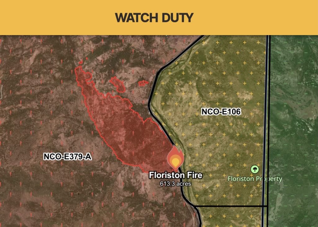
I-80 westbound is still closed from the Nevada State Line to Floriston Way.
Air operations concluded around midnight, with ground crews continuing to strengthen containment lines and limit the fire’s spread. Winds in the area are reported to have decreased from the gusts experienced Wednesday afternoon.
The Truckee Donner Public Utility District is monitoring the fire for potential impacts to its power service. Although the fire is not currently threatening the Truckee region, the district’s announcement says it could threaten the NV Energy transmission lines that deliver power to its system. Emergency de-energization is possible, and customers will lose power without advance notice if it does occur.
NV Energy has also announced its monitoring and potential de-energization that could impact areas, including the Incline Village community.
Resources working the fire include Truckee Meadows Fire and Rescue, CAL FIRE and the Forest Service.
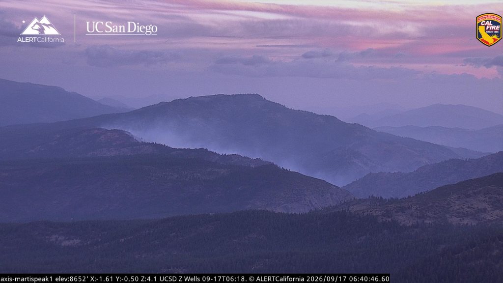
ORIGINAL STORY—Wednesday, 12 p.m. – FLORISTON, Calif. – Resources are responding to a vegetation fire that broke out near Floriston around 10:00 a.m., spreading at a dangerous rate, according to Watch Duty.
As of 12:20 p.m., the fire was mapped at close to 300 acres on the west side of I-80, closing the freeway to westbound traffic. A spot fire is mapped north of the main fire.
Evacuation warnings have been issued for the surrounding areas. For the most up-to-date evacuation zones, visit protect.genasys.com.
The Sun will provide updates as they become available.