LAKE TAHOE, Calif./Nev. – From hanging up skis early to a beach day in March, this winter in Tahoe didn’t feel like the longed-for snow utopia. But in terms of snowfall, has it been as sparse a winter as public perception suggests?
“We’re actually pretty close to average,” says director of the Central Sierra Snow Laboratory, Andrew Schwartz, Ph.D. The lab recorded a cumulative 294 inches as of April 17, putting the region at 87% of the annual median snowfall. That’s just about 40 inches below average.
But Schwartz says there is a reason why it hasn’t felt like an average winter.
While we’ve had plenty of snowfall, Schwartz says, “The story of the winter is really the warm temperatures.”
The above-average temperatures, including record heat in March, along with long dry spells, led to a premature and rapid melt. It’s the reason that despite near-normal snowfall, the snowpack contained only 10% of the snow water equivalent (as of April 17) that is typical for this time of year.
Although the region is just under normal snowfall levels, it is actually above average (107% of the median) in precipitation due to substantial rain this winter.
“So if temperatures had been colder,” Schwartz explains, “then we’d be above average for snowfall.”
Both the early snowmelt, and receiving a significant amount of precipitation as rain, are signs that the region experienced a “warm snow drought.”
Will we see more of these winters?
The characteristics that defined this winter aren’t going away.
“We’re at an inflection point,” Schwartz says, referring to a demarcation line around 2025 and 2026 in climate models for the region that signal low-to-no snow and more rain for quite some time.
“Over the next two decades, we’re expecting a lot more of these types of winters,” he says, “and believe it or not, that’s going to be considered good conditions compared to what’s going to happen basically after the next 30 years or so, which is very little snow compared to even this year.”
Researchers have based these projections on current trends and climate models.
For reference, October and May used to be dominated by snow in the region until the 80s and early 90s. Around that time, those months became increasingly governed by rain.
Now, Schwartz says, all months, except February, show a trend line venturing away from snow to rain.
The impacts of changing winters
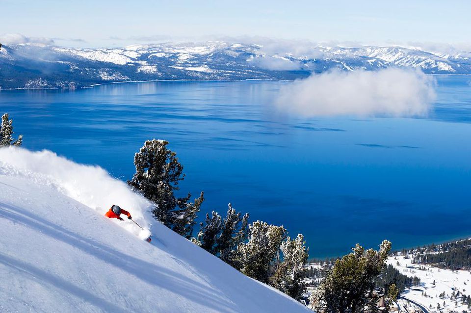
These changing winters could have a wide range of implications. One of those is the impact on winter recreation, as skiers felt this year with extremely variable conditions.
“I think there’s a higher likelihood of accidents and injuries in the recreation world during these types of winters,” Schwartz says, “because people aren’t getting the conditions they want and push their limits more.”
Having a light snowpack around April 1, like the region experienced this year, also presents a challenge for water managers. That’s because around April 1, water managers can begin retaining more water in reservoirs. In the months leading up to that, managers retain less to leave room for winter flood mitigation. So when the snowpack melts ahead of April 1, the reservoirs miss a significant portion of the snowmelt.
A lack of normal water flow can also create challenges for aquatic species, and, of course, wildfire risks increase.
Despite what felt like a less-than-ideal winter this year, Schwartz says, “We’re not as bad as we could be. There’s always a time for doom and gloom. I think the fact that we’re coming off of several consecutive years of average or above average snowfall and water is a great thing.”
It sets the region up well for the summer, despite the small snowpack.
The bigger picture
This winter experience in the Tahoe-Truckee area is indicative of overall climate change in the West, Schwartz says, with certain regions, such as those farther south, becoming drier.
Fortunately, researchers don’t expect the local region to become drier, but, as stated above, it will become more accustomed to rain than snow.
It isn’t exactly new information.
“Unfortunately, the climate models have shown that our region is going to transition away from snow and to rain for a long time,” Schwartz says. “And so we haven’t necessarily acted fast enough to reduce carbon emissions to stop that.”
Just because the region is trending in this direction doesn’t mean every winter will feel this way.
“It’s not all bad from here on out,” Schwartz conveyed. “There will be years where we get good snow, and we get cooler than average temperatures, but those years are going to become less and less frequent as the decades go on.”